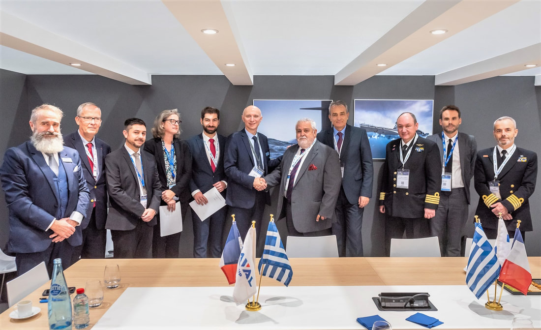
 🇬🇷 ⚓️ 🇫🇷 EURONAVAL 2022 – PARIS
Hard work and real cooperation lead to success! We are very proud at Terra Spatium SA to form in an MoU this partnership which will allow us to promote the knowledge transfer between the parties and to apply best practices in methodologies, interoperability and human resources. Satellite communication, EO and UxVs are some of the key technologies that we are working together with NAVAL GROUP in European projects. MIRICLE and European Patrol Corvette (EPC) are two major defence projects that were recently funding by EC and EDA. We would also like to thank Adm Aristeidis Alexopoulos and the General Directorate for Defence Investments and Armaments (GDDIA) for their cooperation and support. #work #communication #terraspatium #navalgroup #euronaval2022 #gddia #edf #miricle #epc #naval #innovation #cooperation 9/14/2022
2η Διεθνής Έκθεση Beyond 4.0Η Terra Spatium SA συμμετέχει στη 2η Διεθνής Εκθεσιακή Πλατφόρμα Ψηφιακής Τεχνολογίας και Καινοτομίας BEYOND 4.0. 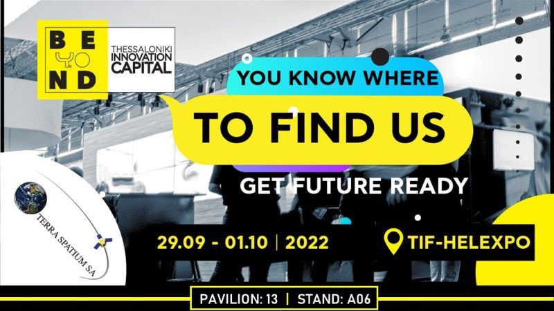 12/14/2021
New Trimble Inpho version 12.1Trimble Inpho version 12.1 is available from December 6th for all Inpho software products, including UASMaster. The new version 12.1 was developed to meet the evolving needs of the rapidly growing aerial imagery market for enhanced productivity and higher quality. A new image matching engine in MATCH-AT with stronger tie point extraction capabilities and improved production engines in MATCH-3DX and UASMaster, increases the quality of block geometry as well as final deliverables for large and high-overlap aerial imagery. Find more details here. 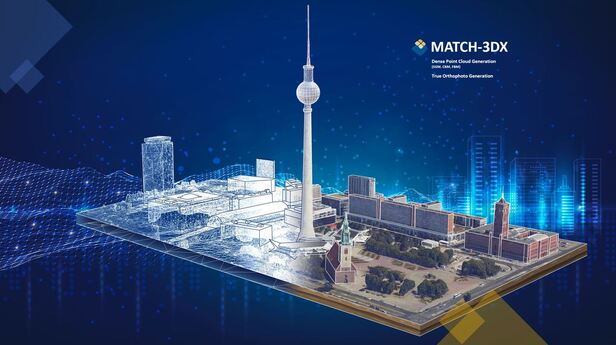 In DEFEA - Defence Exhibition Athens Terra Spatium SA announced its cooperation with NAVAL GROUP through the EDIDP project "MIRICLE". MIRICLE project will pave the way of next generation countermeasure solutions “made in Europe”, hence improving fight against maritime mine capacities. These technologies will more specifically enable European navies to benefit from the highest and most interoperable military mine countermeasures capabilities, in accordance with NATO recommendations. These innovations will complement the main components of mine warfare, made up of the Mine Counter Measure (MCM) vessel, unmanned vehicles and robots (“Toolbox”), the mission system, the communication network and artificial Intelligence-powered decision making. 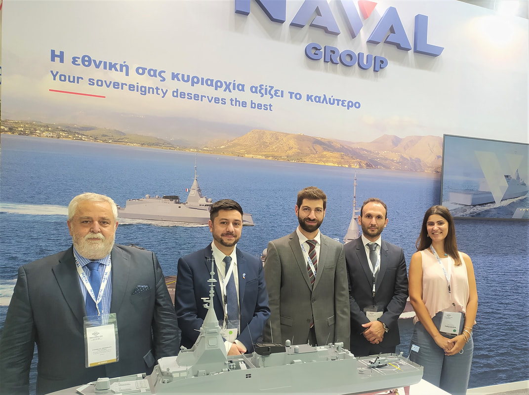 Innovation is also about the vessels modernization, through to the development of (semi)-autonomous Mine Countermeasures Vessels (MCMV) platforms, improvement of interoperability & standardization and development of scalable intelligent multi-UxV mission management system and of an evolutive UxV Launch and Recovery System (LARS) on board platform and docking. #project #innovation #edidp #eda #terraspatium #navalgroup #miricle #minecountermeasures #pesco #mcm |

10/26/2022