
INPHO - Precision Photogrammetry & Digital Modeling Software
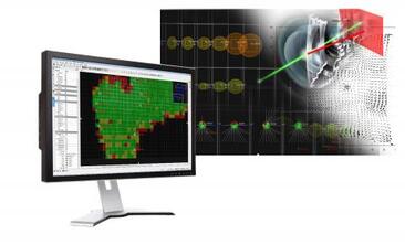
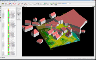
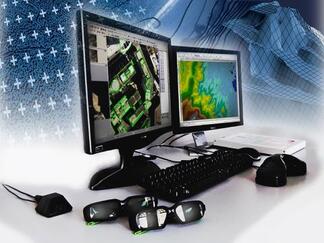
Inpho® software is designed to precisely transform aerial images into consistent and accurate point clouds and surface models, orthophoto mosaics and digitized 3D features using state-of-the-art photogrammetry techniques. Its modules can be used as a complete system or as individual components which integrate easily into any photogrammetric production workflow.
Rigorous theory, mathematical modeling, workflow automation and sophisticated software engineering ensure the highest standard of photogrammetric accuracy and productivity. With thousands of implementations, Inpho software is in use globally to standardize and enhance image data for national mapping, forestry, agriculture, mining, utility and energy, urban development, defense and disaster response.
Rigorous theory, mathematical modeling, workflow automation and sophisticated software engineering ensure the highest standard of photogrammetric accuracy and productivity. With thousands of implementations, Inpho software is in use globally to standardize and enhance image data for national mapping, forestry, agriculture, mining, utility and energy, urban development, defense and disaster response.

|
Geo-Imaging
|
|
|
|
TERRA SPATIUM, Geoinformation and Space Products & Services- Private Security Services Company S.A.
90 Ioannou Metaxa Str., 19441, Karellas Koropi, Greece P.O. BOX 049 | 19002 Paiania Greece HELLENIC BUSINESS REGISTRY NUMBER: 9340801000 Tel.: +30 210 67 48 540 | Fax : +30 210 67 53 780 |
